Apollo 17 · 7 December 1972, 10:39 UTC
The Blue Marble
Apollo 17 on its way to the Moon, five hours after launch, with the Sun behind the spacecraft: Africa, Arabia, Madagascar and, for the first time on an Apollo flight, the south polar ice cap.
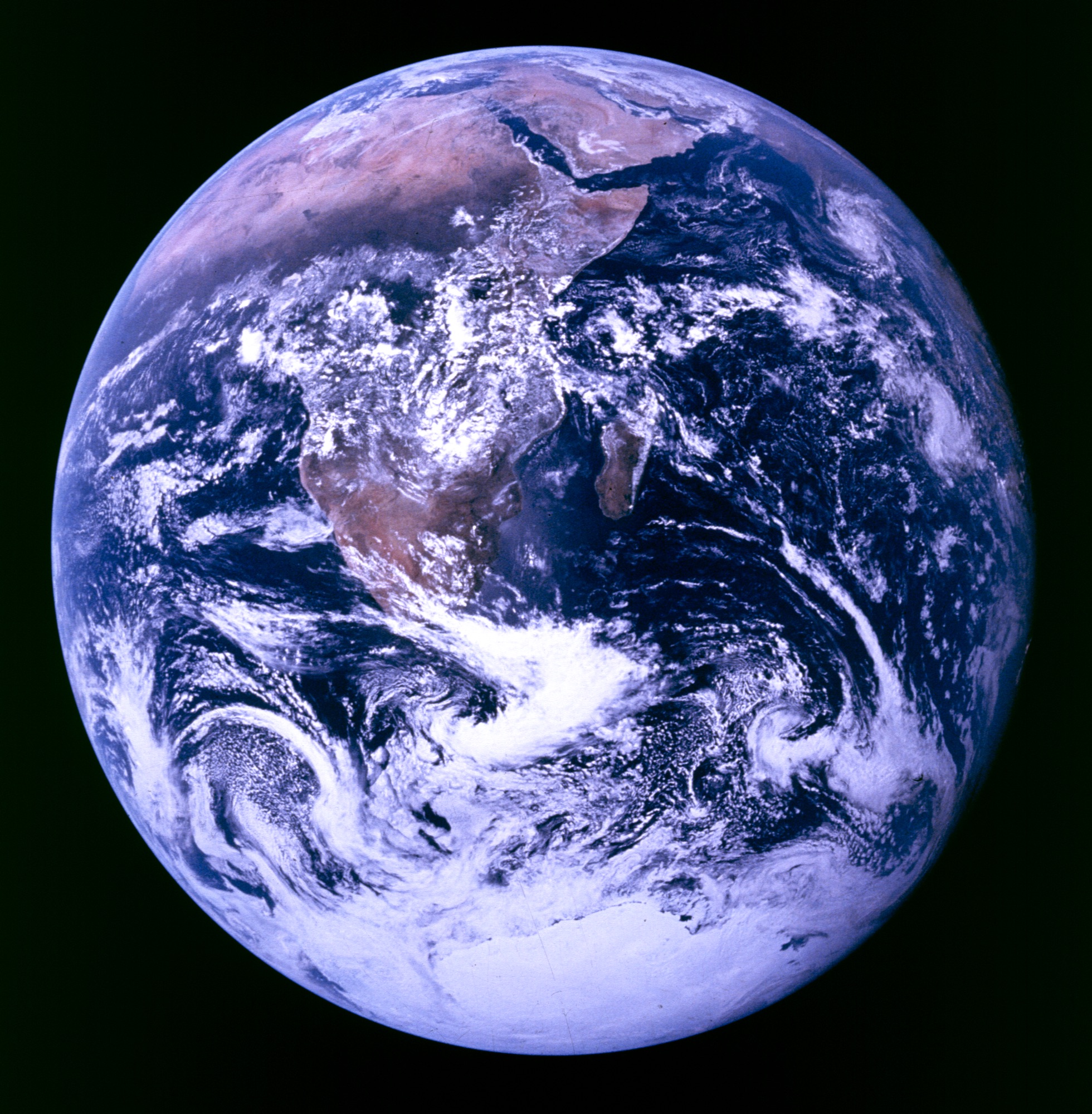
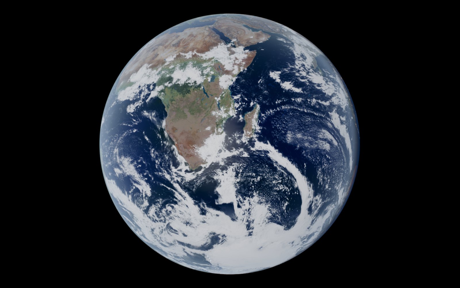
Slide between them
The original laid over the live view at the same scale, as the viewer does when you press Both or Original. Drag across the picture, or use the arrow keys.
Where it was taken from
Apollo 17 was about 30,000 km above the Earth at 10:39 UTC on 7 December 1972.
The live view puts the viewer's camera right there. The clock goes to that moment, everything switches to true scale, and the camera sits where the spacecraft was, its position from the post-flight states in the Apollo 17 Mission Report, carried forward to the moment, since Apollo is not in JPL Horizons [5]. The lens matches the published picture, 22.2° from top to bottom, and the camera is turned to the picture's own orientation, so the original lies over the view at the same scale.
Where the two differ
The clouds are the viewer's own map, not the weather of 7 December 1972.
Everything in the live view comes from the viewer's own maps and its own light, drawn at one instant. The geometry comes from the spacecraft's position, the lens and the picture's orientation, so where everything was, how big it looked and which way it was lit should all line up with the original.
The facts
- The Apollo 17 crew took it on 7 December 1972, on the way to the Moon. [1]
- It was the first time an Apollo trajectory made it possible to photograph the south polar ice cap. [1]
- The view runs from the Mediterranean to the Antarctic ice cap, with almost the whole coastline of Africa, the Arabian Peninsula and Madagascar. [2]
- It was taken about 5 hours 6 minutes after launch, shortly after the spacecraft separated from the Saturn V third stage. [3]
- It is the third of four Blue Marble frames, 22725 to 22728, shot with an 80 mm lens on a 70 mm Hasselblad. [4]
- Measuring the Earth on the film puts the spacecraft about 29,400 km above the surface. [4]
Open it live
In the viewer the clock runs on from the moment at real pace, so you can watch the scene move the way it did after the shutter closed. Press Both or Original to lay the original over it, or drag to look around from where Apollo 17 was.
Open it live in 3D → All eight as a Mac screensaver
The other seven
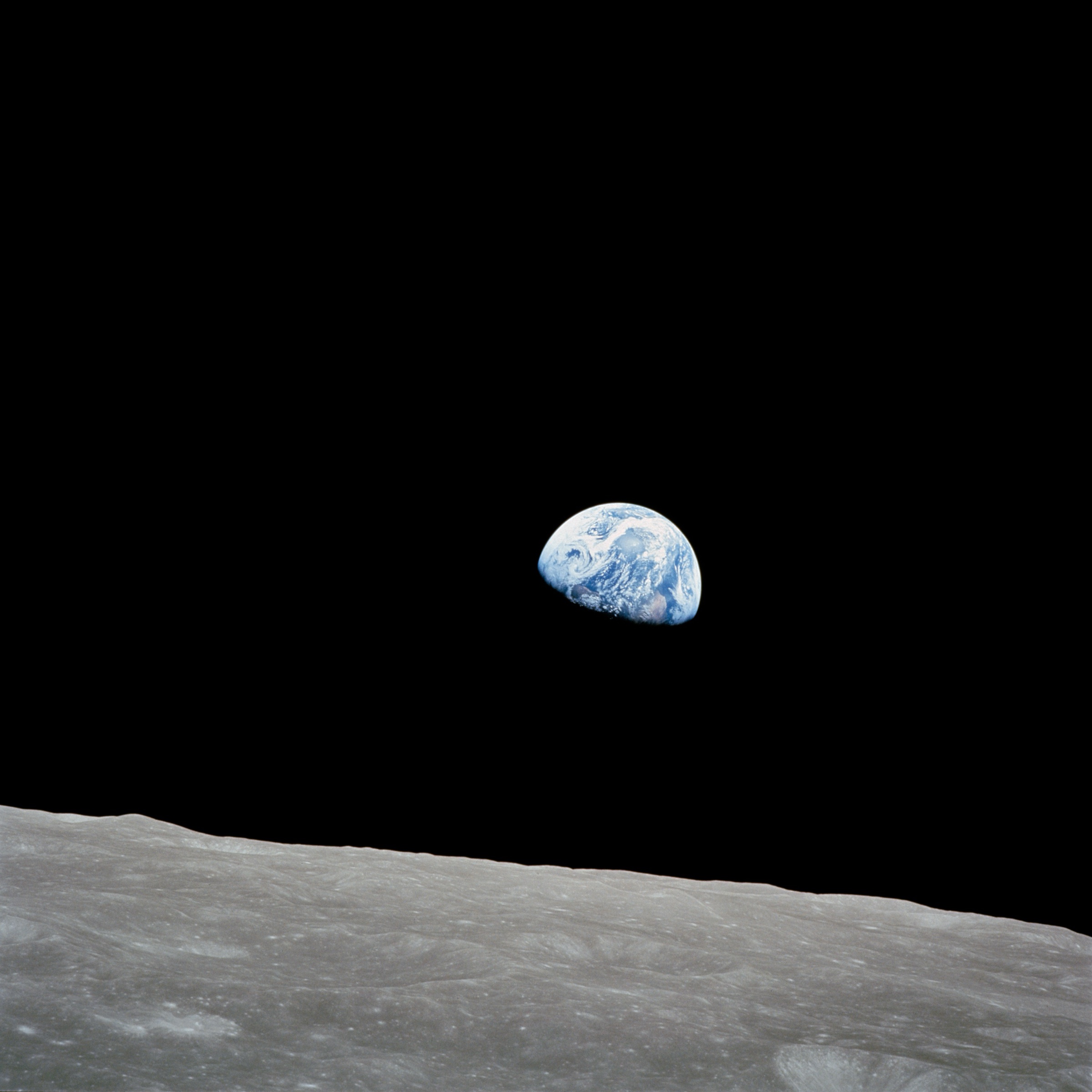
 Earthrise
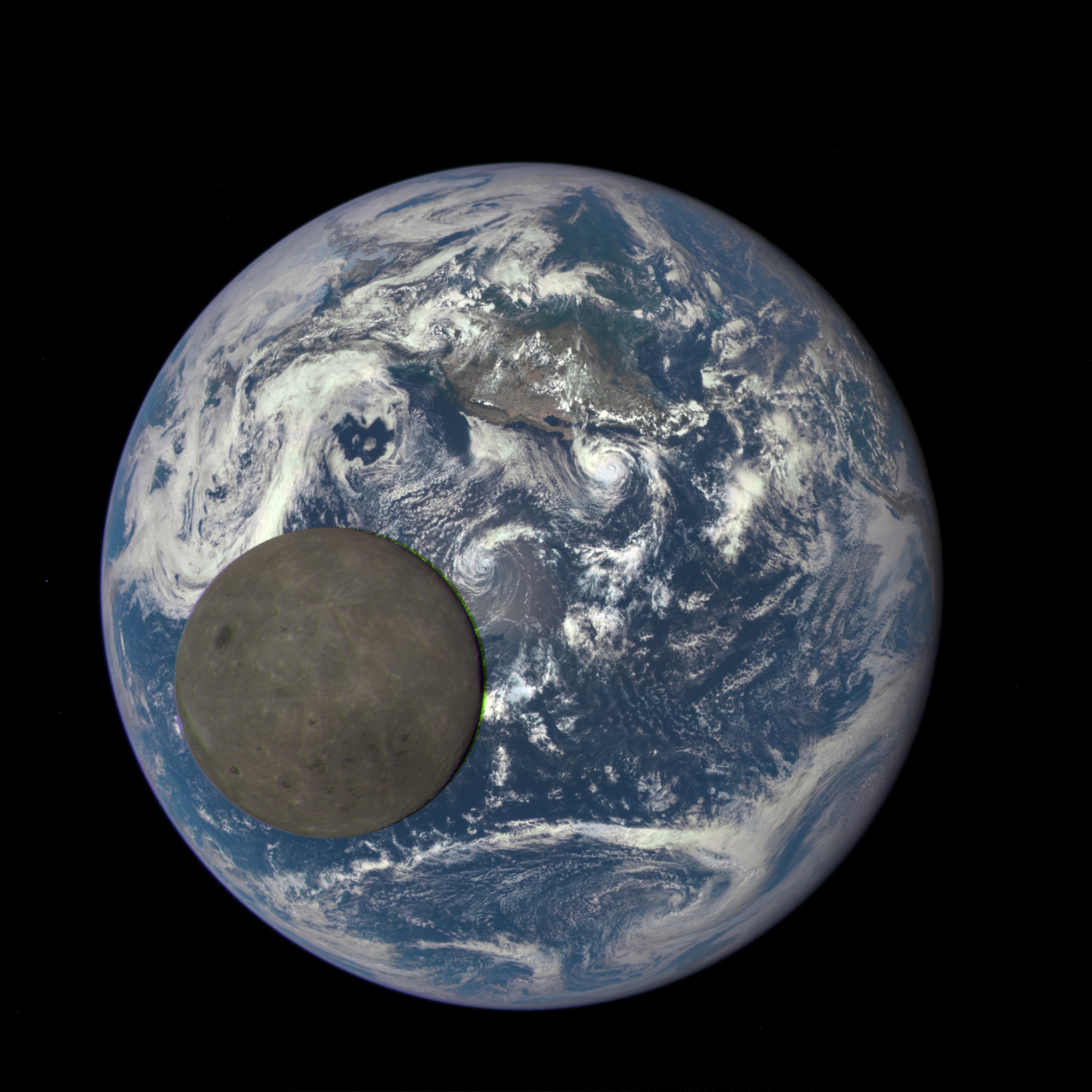
 The Moon crossing the Earth
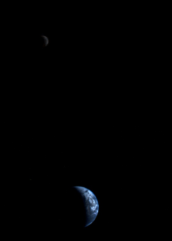
 The Earth and Moon, together
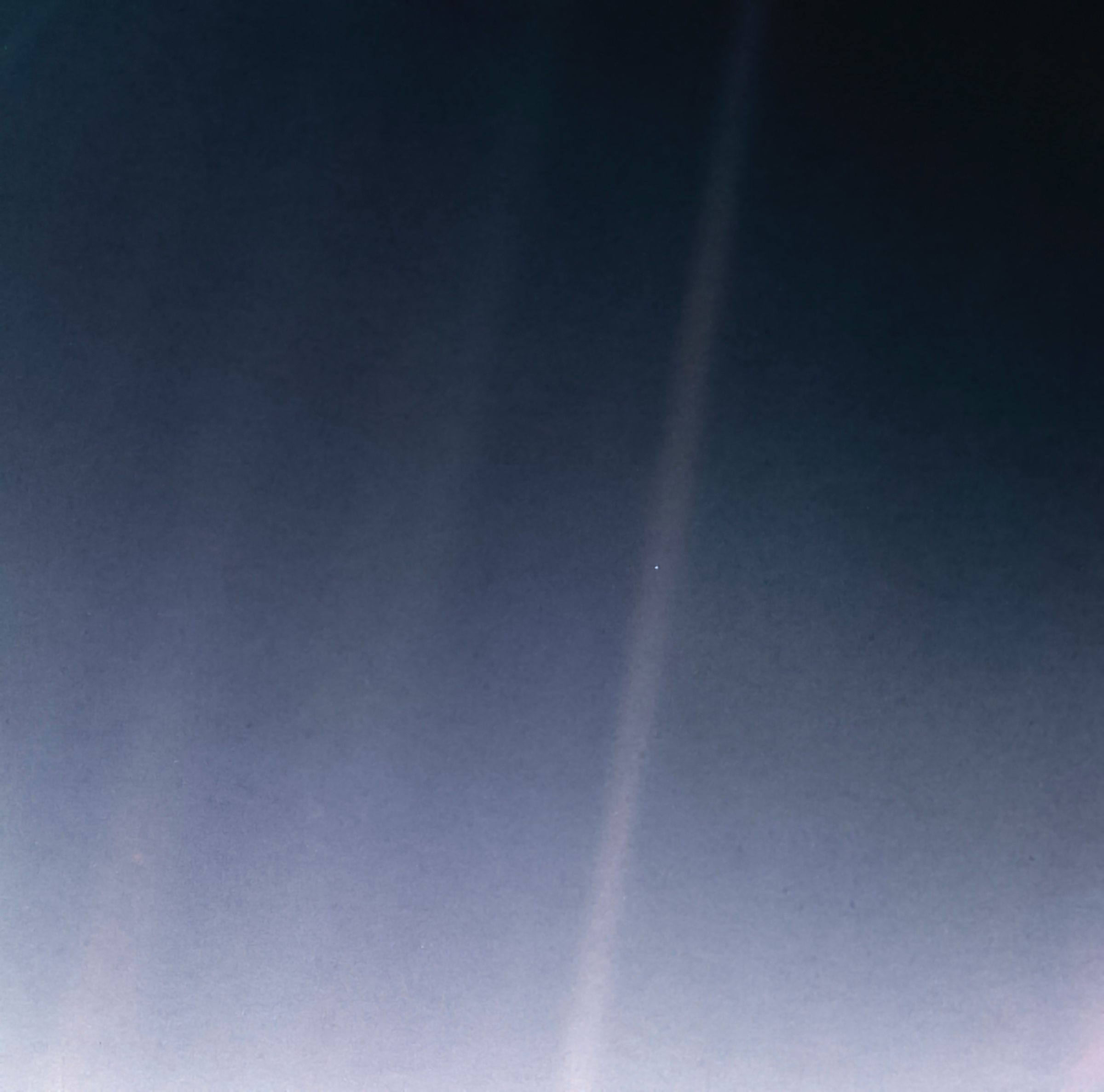
 Pale Blue Dot
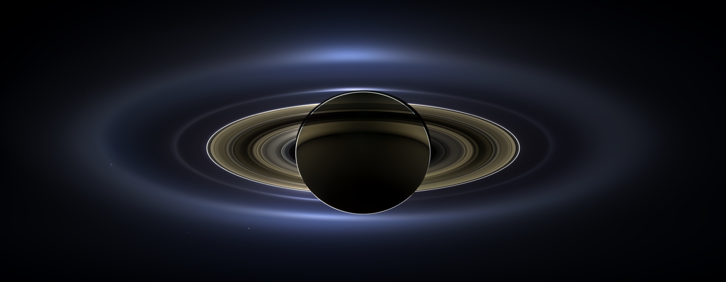
 The Day the Earth Smiled
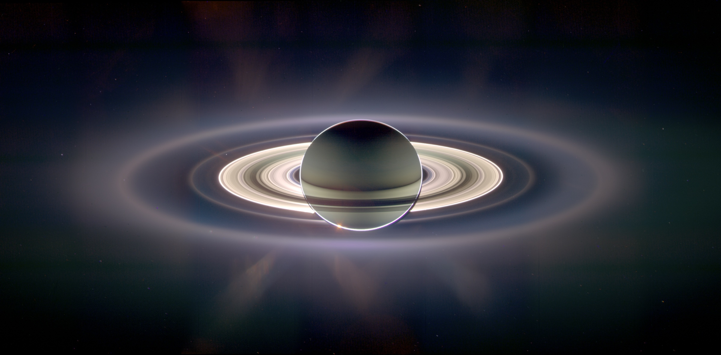
 In Saturn's Shadow
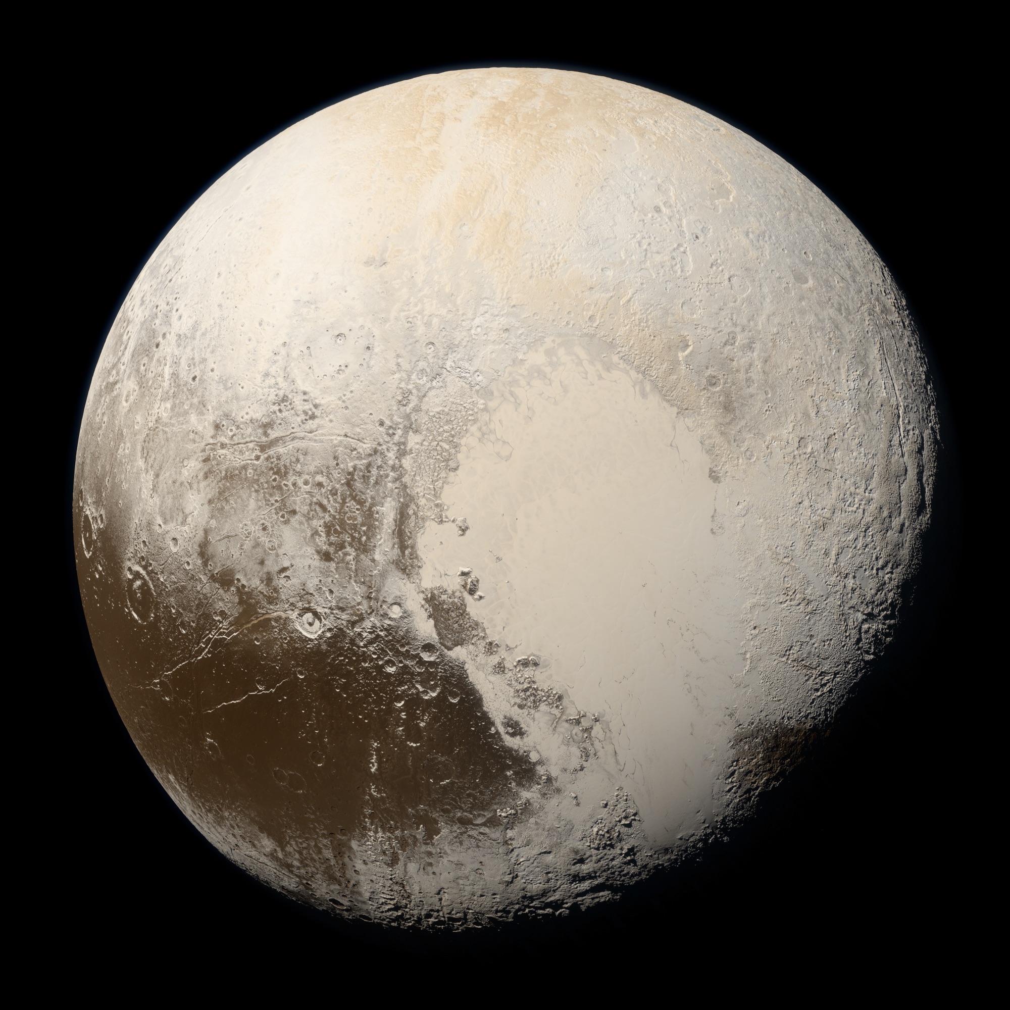
 Pluto in true colour
All the famous photos, and how the views are made
Sources
- NASA: Blue Marble View from Apollo 17
- NASA NSSDCA: Apollo 17 view of the Earth, caption
- Apollo Lunar Surface Journal: Apollo 17 image library
- Apollo 17 Flight Journal: day 1, translunar coast
- Apollo 17 Mission Report (MSC-07904)
Original picture: NASA, from NASA: Blue Marble View from Apollo 17. NASA pictures are not subject to copyright in the United States; NASA asks for a credit and no suggestion that it endorses anything. NASA media guidelines. The live view is ours, rendered by the Our Solar System viewer.